|
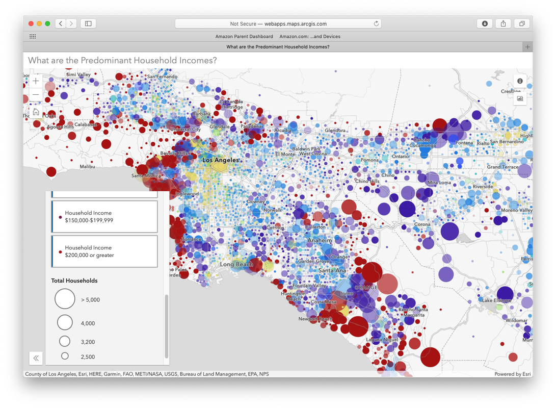
I was somewhat familiar with ESRI and GIS (Geographic System Mapping) but had not had a chance to explore its use in any meaningful context until last week. During a strategic planning meeting, we looked at current and potential future demographic trends in my school's region, and it was very powerful to understand the data in this visual way.
0 Comments
Leave a Reply. |

 RSS Feed
